Assessed by Inspech users globally to date
Road condition intelligence
Keep your understanding of road condition up to date.
Between periodic surveys.
Inspech turns recurring road imagery and inspector-validated assessments into current, consistent and traceable Road Condition Intelligence. AI-assisted recommendations help inspection teams process more imagery efficiently, while inspectors retain control of every assessment.
AI accelerates the review. Inspectors own the assessment.
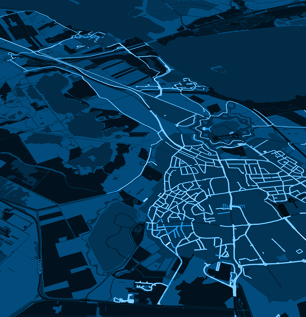
Live inspection workspaceNetwork overview
ValidatedLongitudinal crack · section 042
Previous / currentInspection cycle comparison
Selected project experience
Supporting road organisations and engineering teams across public and private networks.
A-LANES A15RIJKSWATERSTAATUNIHORNBREDAMEDEMBLIKDTAP MALAYSIA
Shorter project lead time reported for A-Lanes A15
of the Dutch national highway network already inspected
delivered by DTAP in its first operational year with Inspech
Project results reflect the cited customer contexts and should not be interpreted as guaranteed outcomes.
The information gap
Road conditions do not wait for the next survey.
LCMS, IRI, FWD, skid-resistance measurements and structural investigations provide essential engineering information when they are performed. Between those campaigns, the road network continues to change.
Formal surveyEngineering baselineLCMS · IRI · FWD
Cycle 01Visual assessment
Cycle 02Visual assessment
Cycle 03Visual assessment
Cycle 04Visual assessment
Formal surveyEngineering baselineLCMS · IRI · FWD
Recurring, validated visual assessments help maintain a more current understanding between high-authority engineering surveys.
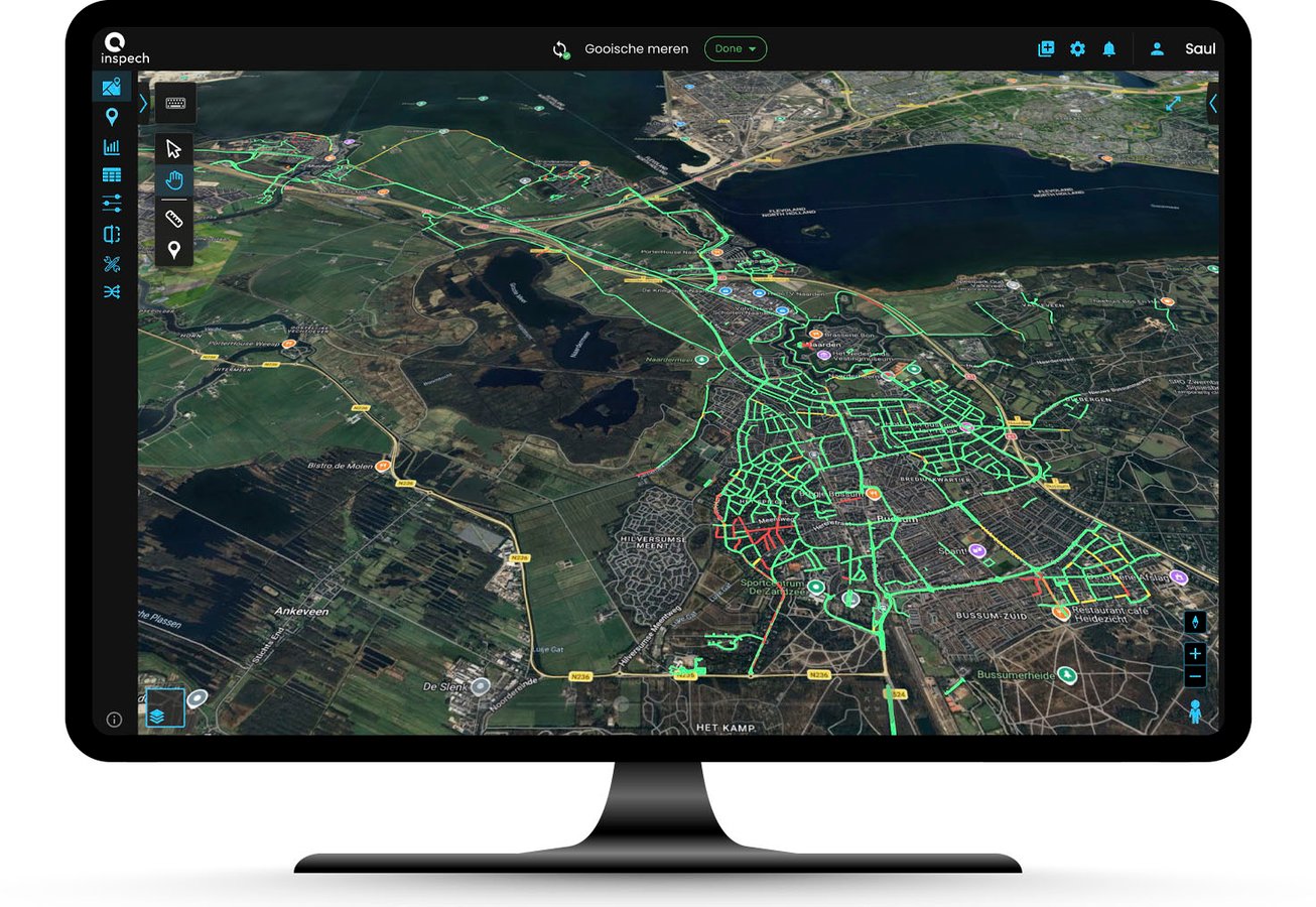
01 Georeferenced inspection environment
The current product promise
More frequent visual understanding, without proportionally increasing inspection effort.
Inspech organises road imagery into a georeferenced inspection environment, provides AI-assisted recommendations and keeps professional inspectors responsible for every validated result.
The outcome is current, consistent and traceable condition information for engineering and asset-management workflows.
- 01Compatible road imagery
- 02AI-assisted recommendations
- 03Professional validation
How it works
From compatible imagery to validated evidence.
A structured visual road-condition workflow designed to strengthen professional inspection practice, not replace it.
01
Capture
Capture compatible road imagery while preserving the location context required for assessment.
02
Organise
Upload imagery into a georeferenced inspection environment, structured by route and road section.
03
Recommend
Receive AI-assisted suggestions for visible defects and applicable classifications.
04
Validate
Inspectors confirm, adjust or reject every suggestion using expertise and project context.
05
Compare & export
Review change across cycles, report findings and export structured results.
What recurring inspections build
From individual inspections to a growing history of network change.
An individual inspection shows what was visible at a particular moment. Recurring inspections preserve georeferenced imagery, validated findings and inspection context across cycles—adding context to the current condition view.
Every recurring inspection adds context to the next.Recurring inspections
More current visual evidence
Validated history
Traceable observations over time
Network understanding
Context for visible change
Better-supported decisions
Greater engineering confidence
Practical outcomes
What more current visual evidence makes possible.
Operational value today, with professional judgement preserved at every step.
More frequent visibility
Maintain a more current visual understanding between periodic engineering surveys.
Efficient review
Process growing volumes of road imagery without increasing inspection effort proportionally.
Historical comparison
Compare validated imagery and findings across recurring inspection cycles.
Focused attention
Help identify road sections that may require closer engineering attention.
Supported planning
Bring more current visual evidence into maintenance planning and reporting workflows.
Defensible records
Preserve georeferenced evidence, validation and inspection context in a traceable record.
System fit
Designed to strengthen the workflow you already use.
Inspech adds more frequent, validated visual evidence between formal engineering surveys. It does not replace established measurements, platforms or expertise.
Solutions
One platform. Three operating contexts.
The same core proposition, applied to the realities of concession, public-road and professional service workflows.
 01
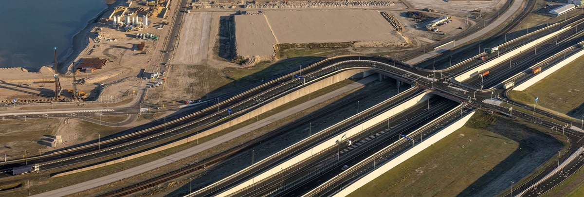
01Road concessionaires
Maintain visibility between formal survey cycles and support contractual, engineering and maintenance workflows.
Explore the pathway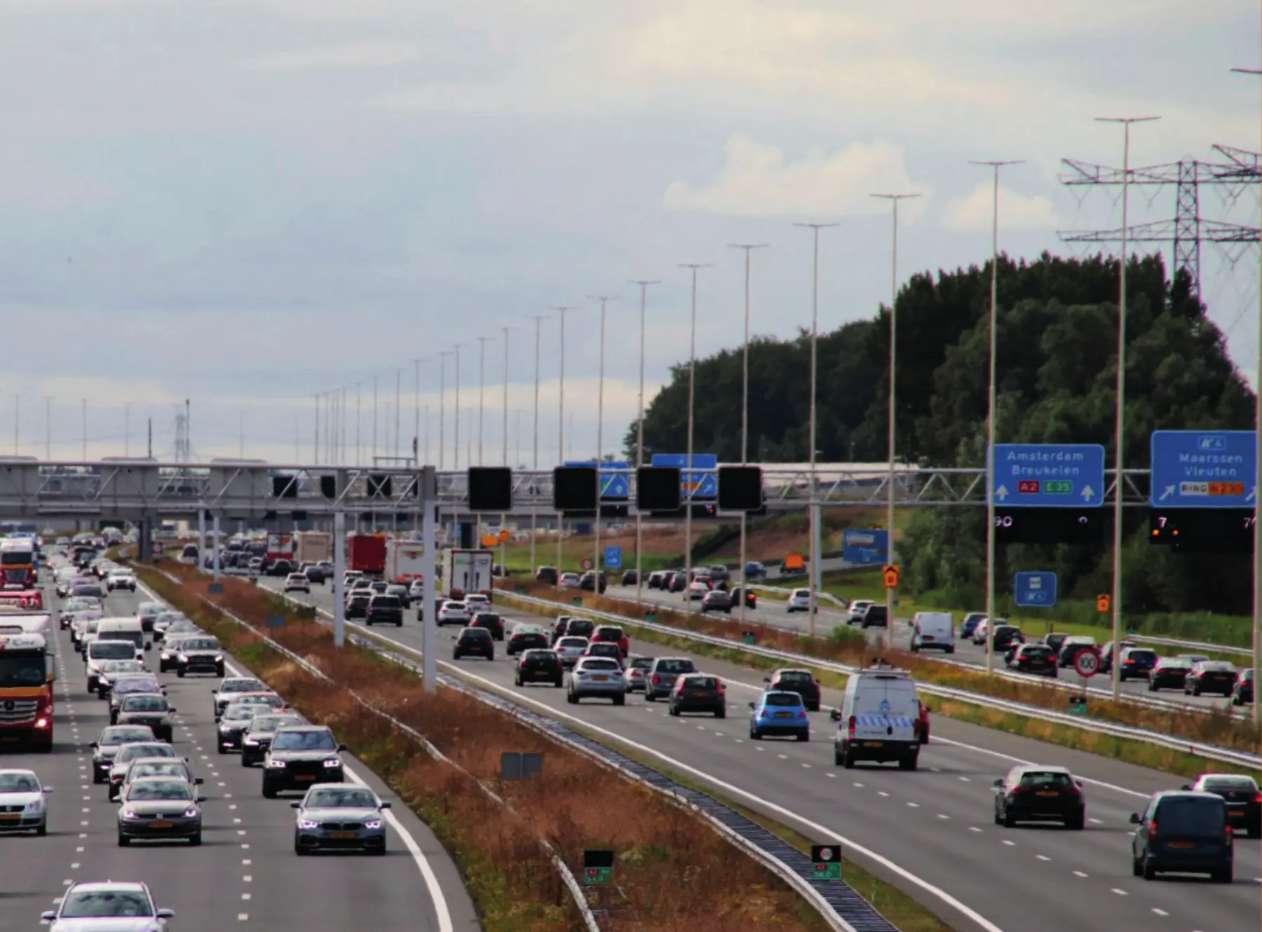 02
02Road authorities
Build a consistent, repeatable and traceable view across national, regional and municipal road networks.
Explore the pathway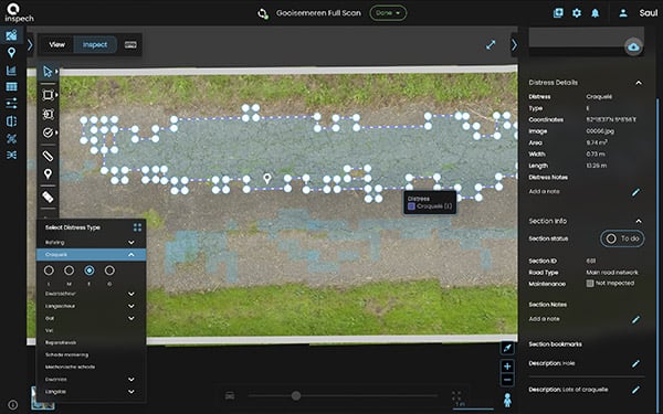 03
03Inspection & engineering providers
Process more road imagery and deliver consistent, transparent evidence within established engineering workflows.
Explore the pathwayCustomer results
Evidence from real inspection workflows.
 Road concessionaire · The Netherlands
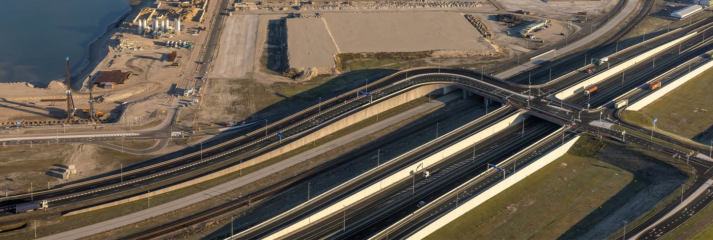
A-Lanes A15
Consistent contractual inspection with a project lead-time reduction of more than half.
Recurring visual inspection supports the annual asphalt-repair planning process across 37 km of motorway under a DBFM contract, with results available for review in the platform.
>50%reported reduction in project lead time
Read the A-Lanes story A national-scale visual evidence base already covering approximately 80% of the Dutch highway network.
Established inspection coverage creates a practical foundation for recurring, inspector-validated Road Condition Intelligence.
Read the authority storyVisual assessment working alongside broader pavement investigation.
Inspech supports an early assessment step while Unihorn retains professional control across the wider engineering process.
Read the provider storyPublic-road evidence spans the Dutch national highway network, municipalities such as Breda and Medemblik, and Malaysian Public Works Departments and municipalities served through DTAP.
Trust & responsible AI
Professional control by design.
Inspech uses AI to assist professional inspection work. Recommendations remain visible, inspectors validate every result and the inspection record can be reviewed and explained.
Explore trust and Responsible AI01Inspector validation✓
02Visible AI recommendations✓
03Traceable evidence✓
04Configurable standards✓
05Data ownership & export✓
Operational validation
Validate Inspech in your own inspection workflow.
Use a representative road section, compatible imagery and your own inspectors to determine how Inspech fits your standards, systems and operating process.
Explore Operational Validation For road organisations with a defined inspection workflow and professional validation capacity.