01
Prepare
Define the route, assessment method, capture setup and required outputs.
How Inspech works
Inspech connects preparation, compatible imagery, georeferenced review, AI-assisted recommendations and professional validation in one traceable workflow.
It helps inspection teams process recurring visual evidence efficiently—without removing the inspector, the engineering method or the systems around it.
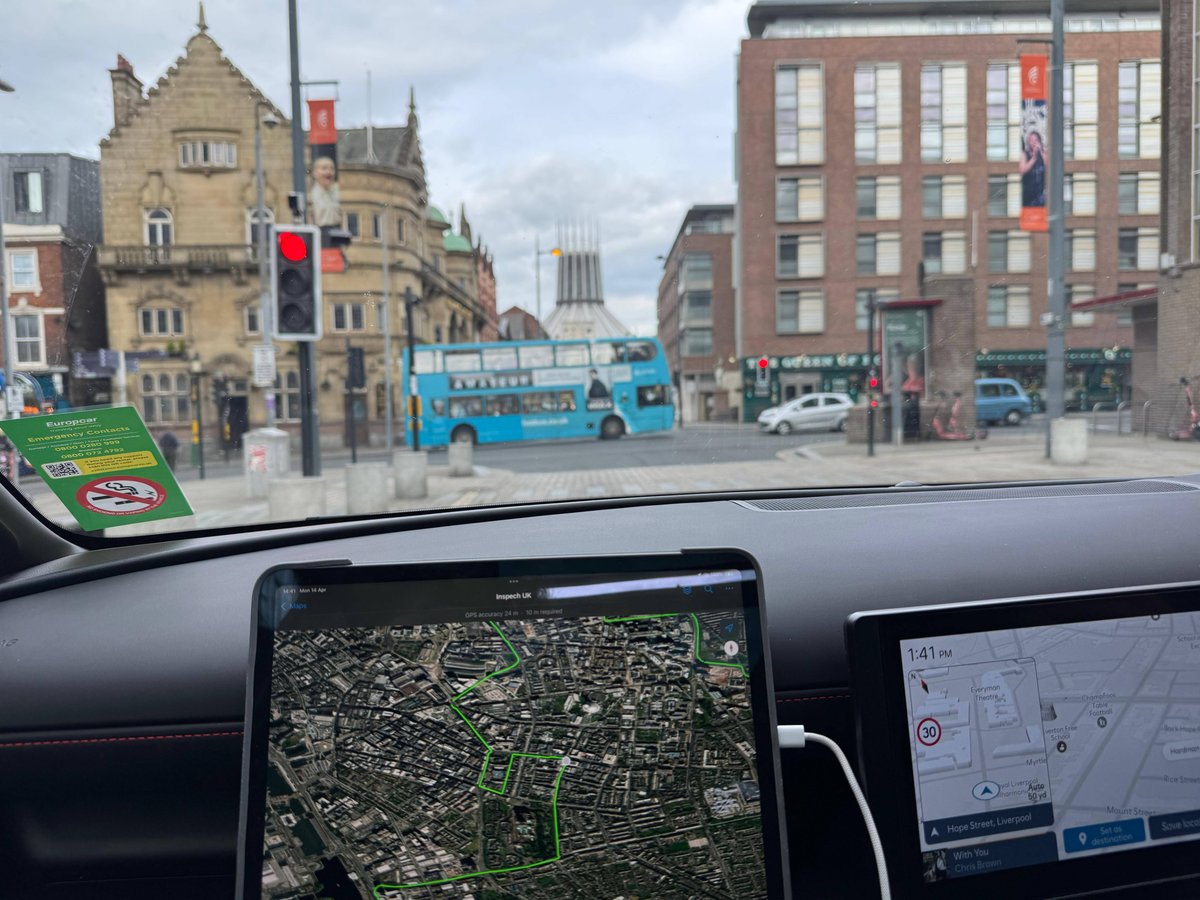 01 · Road imagery
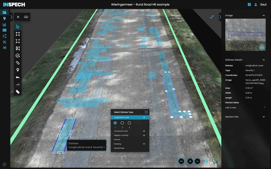 02 · Assisted review
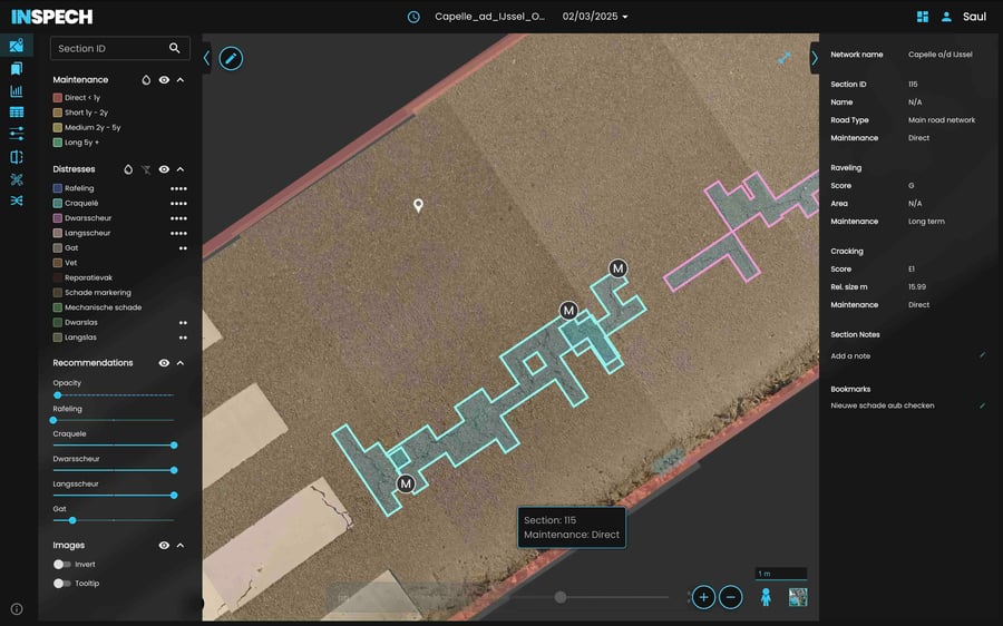 03 · Inspector validated
The workflow at a glance
Every phase has a clear input, a controlled handoff and an accountable outcome.
Define the route, assessment method, capture setup and required outputs.
Create compatible road imagery and preserve its location and road-section context.
Use AI-assisted recommendations while professional inspectors control every result.
Report, export and compare validated evidence across recurring inspection cycles.
Before the first kilometre
A reliable result begins before capture. The organisation and Inspech align the inspection objective, applicable method, road scope, imagery requirements and expected outputs.
This makes compatibility explicit and gives inspectors a clear basis for professional review.
Which network, route, carriageway or road sections need to be assessed?
Which visual inspection method, defect types and classifications apply?
Which compatible camera setup, image quality and positioning information are required?
Which reports, geodata or downstream workflows must the validated results support?
The operational workflow
Each step preserves the context needed by the next—so results remain understandable, reviewable and usable beyond a single inspection.
Compatible capture workflowPhase 01 · Prepare and capture
Confirm the route, applicable visual assessment method, capture configuration, responsibilities and required outputs.
Record the road surface using an agreed accessible camera configuration or compatible professional capture workflow while preserving the required location context.
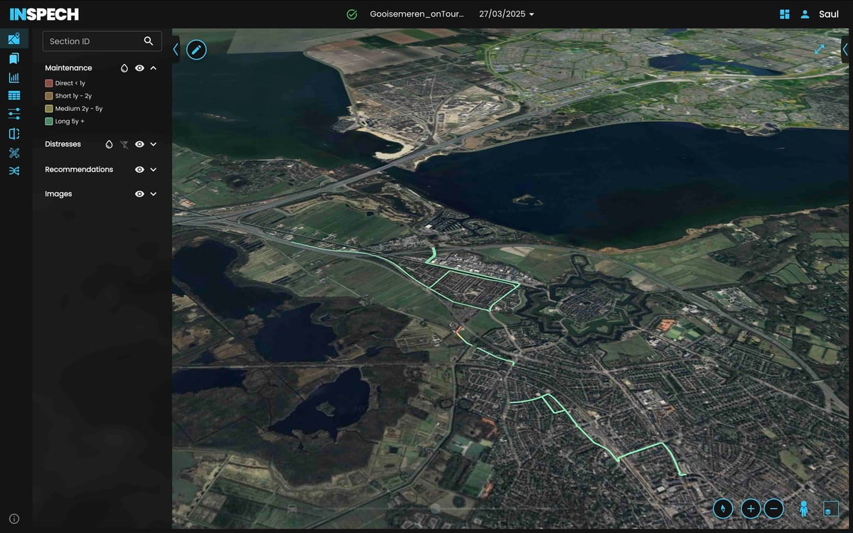 Georeferenced inspection environment
Phase 02 · Organise and assess
Upload the imagery and organise it by geography, route and road section so every observation retains its wider network context.
Inspech highlights potential visible surface defects and suggests applicable classifications to focus professional attention.
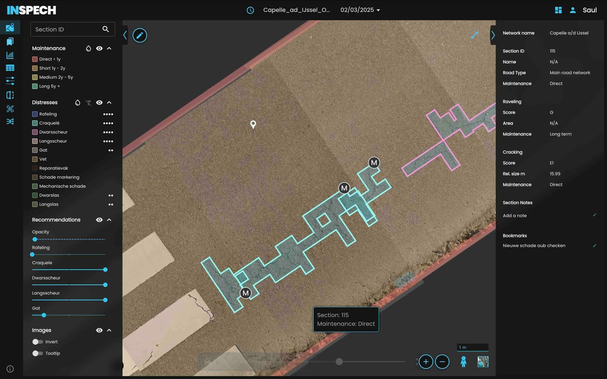 Professional validation
Phase 03 · Review and validate
Inspectors review the imagery and recommendation in context, then confirm, adjust or reject it using their expertise and the applicable method.
Recommendations remain visible and reviewable. They are not treated as autonomous engineering decisions.
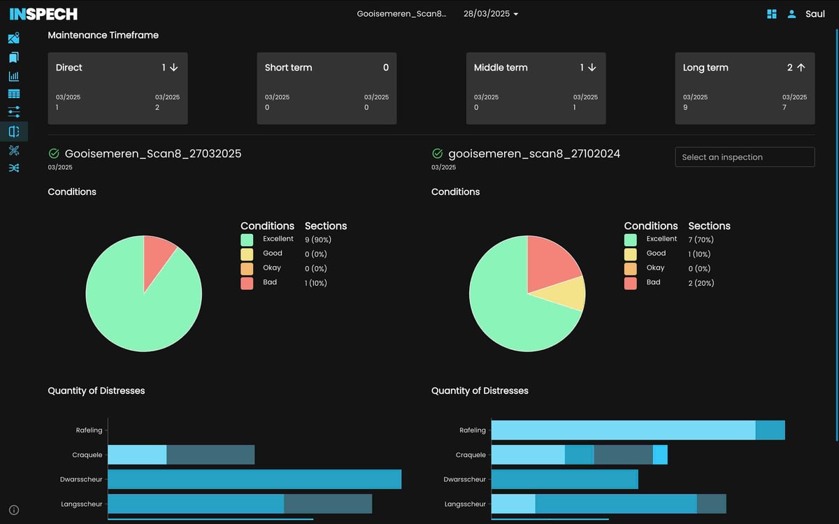 Previous cycle → current cycle
Phase 04 · Use and repeat
Use supported reports, geodata and exchange routes in established GIS, road-management and professional reporting workflows.
Where recurring cycles exist, compare validated imagery and observations to build a traceable history of visible network change.
What stays connected
Traceability comes from keeping the evidence, context and professional assessment together.
The visible road-surface evidence reviewed by the inspector.
The geographic and road-section context attached to the imagery.
The inspector-validated defect type, classification or observation.
The inspection cycle and validation context that make the result traceable.
Designed for system fit
Inspech strengthens recurring visual assessment. It complements—not replaces—specialist engineering measurements, pavement expertise and established asset-management processes.
Operational validation
Use a representative route, your applicable method and your own professional inspectors to evaluate capture fit, review effort, consistency, outputs and operational value.