Network scale
Condition evidence must remain consistent across routes, regions and recurring cycles.
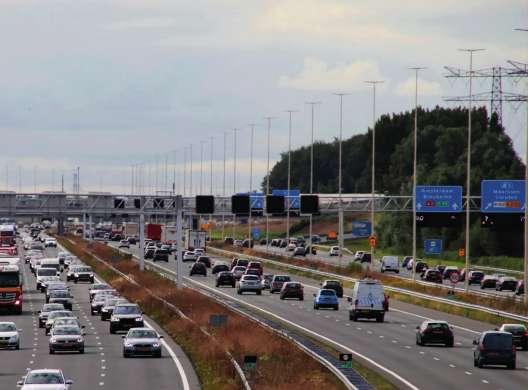
Road authority evidence · The Netherlands
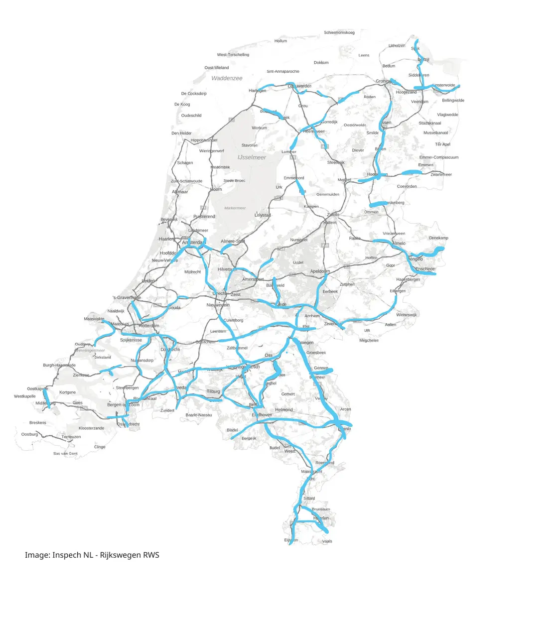
Approximately 80% of the Dutch national highway network has already been inspected with Inspech within Unihorn’s professional road-inspection workflow.
of the Dutch national highway network already inspected
The result already established
The Dutch main road network covers approximately 8,000 kilometres of road and more than 20,000 lane-kilometres. The joint Unihorn–Inspech proposition records that around 80% of this network had already been inspected with Inspech.
That existing footprint matters because it creates a substantial, georeferenced evidence base from which recurring visual assessment can be standardised and expanded—without treating national adoption as a greenfield experiment.
Source context: joint Unihorn–Inspech proposition for Rijkswaterstaat, prepared in 2025. The 8,000 km and 20,000 lane-km figures describe the wider network; they are not additional Inspech result claims.
Why this matters
Ageing assets, deferred maintenance, constrained inspection capacity and pressure to reduce disruption make a purely periodic and reactive inspection model difficult to scale.
Condition evidence must remain consistent across routes, regions and recurring cycles.
Inspectors need to focus on professional review and interpretation instead of repetitive image handling.
Maintenance choices need a visible and defensible evidence chain.
More current information can help teams focus field activity and engineering attention.
Technology and domain expertise together
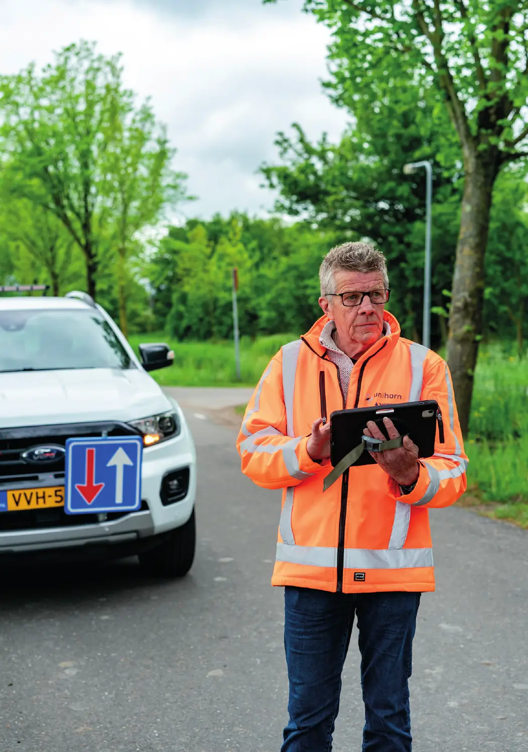
Inspech organises road imagery in a georeferenced environment and provides AI-assisted recommendations for visible surface defects. Unihorn contributes the inspection expertise, reviews the evidence and connects validated findings to the wider investigation and maintenance context.
What the evidence demonstrates
The strongest proof in the source is the combination of established network coverage and a professional delivery model.
Approximately 80% of the Dutch national highway network had already been inspected with Inspech when the joint proposition was prepared.
Road imagery is organised into a georeferenced assessment environment so evidence can be reviewed consistently across routes.
Unihorn brings inspection and engineering expertise; inspectors review the visual evidence and remain responsible for interpretation.
Existing inspection data creates a foundation for comparison, prioritisation and a more current understanding of visible road condition.
Strategic upside modelled in the proposition
The joint proposition also models what wider, recurring adoption could mean for inspection cost, field effort, disruption and carbon impact. These numbers are useful as decision hypotheses—but they are not presented as realised customer results.
Evidence and claim boundaries
Clear separation between existing evidence and future scenarios keeps the case useful for professional and public-sector decision-makers.
The approximately 80% coverage figure describes inspection work already completed across the Dutch national highway network.
Savings, closure reduction, break-even and CO₂ figures are estimates in the joint 2025 national-scaling proposition—not realised or independently verified RWS outcomes.
Inspech supports visual road-condition assessment. It does not replace LCMS, IRI, FWD, skid-resistance measurements or pavement-engineering judgement.