Large networks
Road condition varies across locations, road types and operating environments.
Road authorities
Inspech helps national, state, provincial and municipal road authorities perform recurring visual condition assessments more efficiently and consistently, while professional inspectors remain responsible for every result.
The resulting visual evidence supports maintenance planning, reporting and public accountability between periodic engineering surveys.
The public-road challenge
Large networks, limited inspection capacity and pressure for transparent decisions create one underlying need: a repeatable way to maintain current visual evidence across the network.
Road condition varies across locations, road types and operating environments.
Professional inspectors must review growing volumes of imagery and evidence.
Priorities and reports must be transparent, consistent and defensible.
AI-assisted review with professional validation and traceable results.
Authority outcomes
Operational value for asset managers, pavement teams and professional inspectors—without shifting decision responsibility to software.
Maintain visibility into visible road condition between periodic engineering surveys.
Support repeatable inspection logic across teams, regions and successive inspection cycles.
Help professional inspectors process larger volumes of compatible road imagery efficiently.
Preserve validated, georeferenced records for planning, reporting and public accountability.
Within Road Authorities
Local road authorities face the same underlying challenge: maintaining a reliable understanding of road condition while inspection capacity and budgets remain constrained. Inspech helps professional teams assess imagery efficiently, improve consistency and preserve traceable visual evidence.
 Municipality of Breda · The Netherlands
Municipal road authority
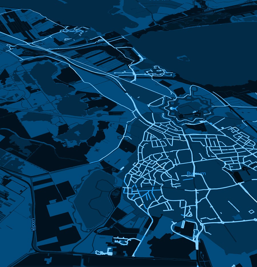
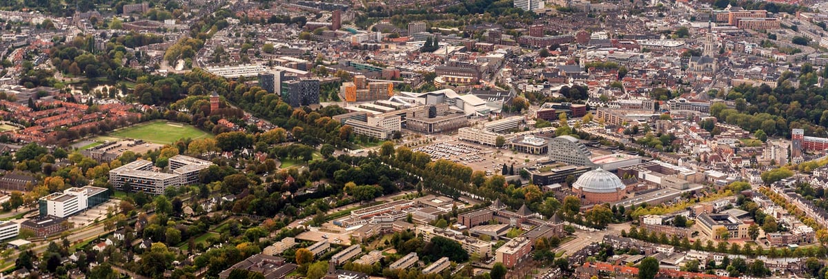
Breda used digitally assisted visual assessment to create a detailed, georeferenced overview of roads in its rural area, supporting professional inspection capacity and maintenance planning.
Read the Breda story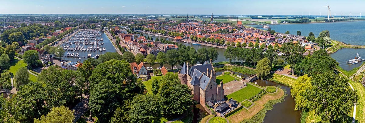 Municipality of Medemblik · The Netherlands
Municipal road authority
Medemblik needed an efficient way to understand an expanded road network. A georeferenced digital inspection environment helped the team process information faster and maintain a usable overview.
Read the Medemblik story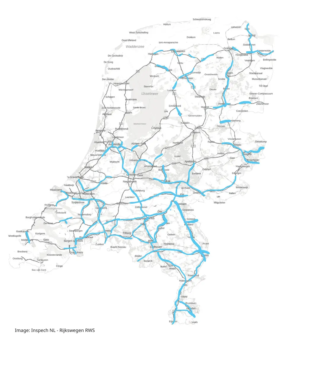 Documented national highway inspection footprint
Rijkswaterstaat with Unihorn
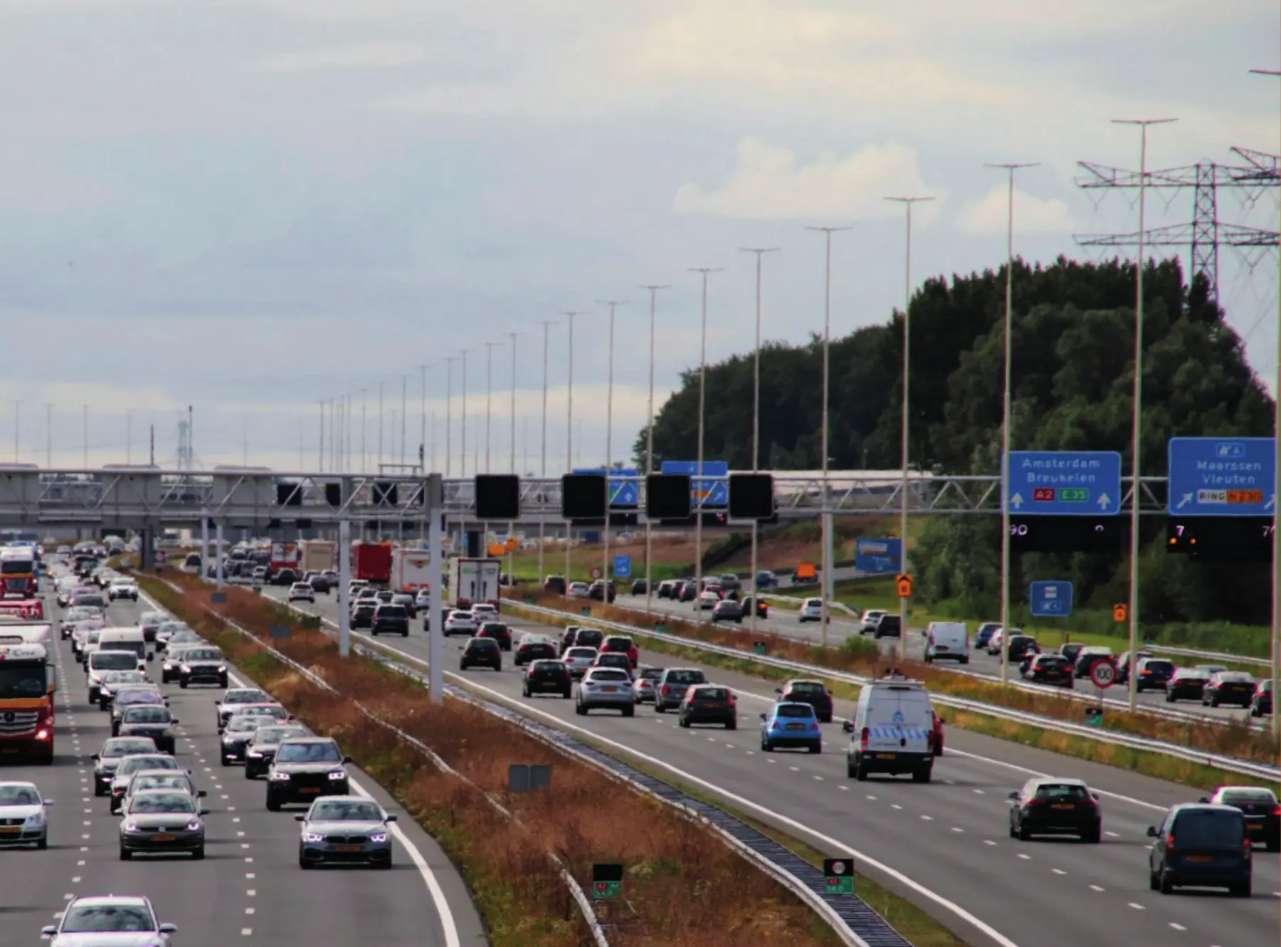
The joint Unihorn–Inspech proposition records that around 80% of the Dutch national highway network had already been inspected with Inspech—creating a substantial georeferenced foundation for recurring assessment.
Inspech scales the organisation and assisted review of road imagery. Unihorn contributes professional inspection and engineering expertise, keeping interpretation and advice connected to Dutch road practice.
The approximately 80% figure is documented existing coverage. The 8,000 km and 20,000 lane-km figures describe the wider network context; projected national business-case benefits are not presented as realised RWS outcomes.
DTAP’s local Inspech-enabled workflow provides structured, inspector-validated visual evidence to Malaysian public-road clients.
A 30 km Australian corridor assessment reduced field exposure and reported time and cost savings within that specific project context.
Operational validation
Use a representative route, compatible imagery, your applicable inspection standard and your own professional inspectors to determine how Inspech fits your operating process.