Project inputCompatible road imageryCaptured with location and road-section context
Inspection & engineering providers
Inspect more road imagery without sacrificing professional judgement.
Inspech helps inspection and engineering providers organise road imagery, accelerate visual review with AI-assisted recommendations and deliver consistent, traceable results to their clients.
Inspectors remain in control, and Inspech fits alongside the engineering measurements and investigations already used in professional pavement assessment.
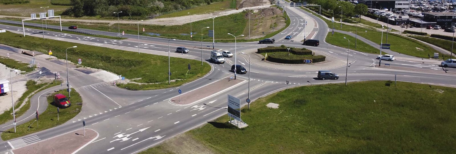
Professional provider workflowInspect · Validate · Integrate · Deliver
Visual assessmentInspector controlled
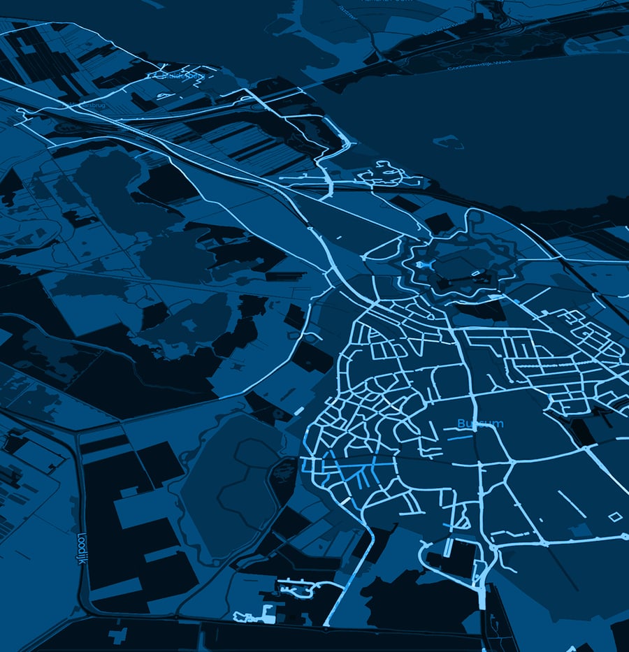
Built for professional deliveryCompatible imageryVisible recommendationsInspector validationTraceable outputs
The provider operating reality
Scale the visual assessment step, not the responsibility around it.
Professional providers must balance project throughput with consistent quality, standards, transparent evidence and the wider engineering question. Visual review can become a bottleneck when imagery volumes grow.
Inspech gives teams a structured environment for assisted visual assessment. Inspectors review every recommendation, while engineers retain responsibility for measurements, interpretation and the advice delivered to the client.
AI accelerates the review. Your professionals own the assessment and the advice that follows.
Inspech layerAssisted visual assessmentRecommendations reviewed and validated by inspectors
Professional synthesisEngineering investigationVisual findings considered with measurements and expertise
Client deliveryTraceable evidence and adviceTransparent outputs within the provider relationship
Provider outcomes
More capacity for professional, transparent delivery.
Operational value for inspection firms, engineering consultancies and pavement specialists—while keeping methods, validation and client responsibility with the provider.
Increase project throughput
Process more compatible road imagery without proportionally increasing repetitive review work.
Apply consistent logic
Support the same assessment method across inspectors, projects and successive delivery cycles.
Strengthen client evidence
Deliver validated, georeferenced findings with imagery that can be reviewed and explained.
Connect visual and engineering work
Bring surface findings into context with radar, FWD, point-cloud, drilling and laboratory investigation.
Serve larger road owners
Create a repeatable delivery model for concessionaires, authorities and municipalities with larger networks.
Inside the investigation chain
One focused visual-assessment layer within a broader professional process.
Inspech does not become the measurement provider or replace pavement investigation. It helps providers make the imagery-review step more scalable, consistent and traceable.
Capture
Road imagery and location context
Inspech
Assisted visual assessment
Measure
Radar, FWD and point cloud
Investigate
Drilling and laboratory work
Advise
Integrated report and strategy
Essential complementary work remains in place.Radar · FWD · Point cloud · Drilling · Laboratory analysis · Pavement engineering · Client advice
Client delivery
Make the visual evidence easier to review, explain and use.
Clients do not only need a conclusion. They need confidence in the route from evidence to professional advice. Inspech helps providers preserve that route through georeferenced imagery, visible findings and inspector validation.
Reviewable
Connect findings to the underlying road imagery and location context.
Consistent
Apply a repeatable assessment method across projects and delivery teams.
Traceable
Preserve what was suggested, validated and included in the delivered record.
Featured provider evidenceUnihorn · Independent research, consulting and design firm
 Inspech as step two in a wider ten-step pavement investigation
Unihorn workflow
Visual assessment working alongside a complete pavement investigation.
Unihorn uses Inspech early in its professional process: after road imagery is captured and before radar, FWD, point-cloud, drilling and laboratory work. Inspectors review and validate the visual assessment while the wider investigation remains under Unihorn’s professional direction.
Step 01Data collection→Step 02Inspech analysis→Steps 03–10Investigation to execution
“With Inspech, we finally have the overview we always wanted, without losing human expertise.”Jeroen Bleeker · Director, UnihornRead the Unihorn story
Additional regional scale evidence · Malaysia
DTAP: more than 10,000 lane-km in the first operational year.
DTAP integrated Inspech into its delivery workflow while its pavement specialists retained validation, interpretation and client responsibility.
>10,000 lane-kmRead the DTAP story
Operational validation
Validate Inspech within your inspection delivery model.
Use a representative project, compatible imagery, your applicable method and your own professional inspectors to evaluate workflow fit, consistency, outputs and client-delivery value.
Agree success criteria before starting
- Project and imagery fit
- Inspector effort and consistency
- Standards and validation ownership
- Outputs and engineering integration
- Potential recurring delivery model