Context
The customer, network and operational question behind the work.
Customer results
Inspech is used across concession, authority, municipal and engineering-provider contexts. The outcomes below show what changed in those specific workflows.
reported reduction in project lead time
of the Dutch national highway network already inspected
lane-km delivered in the first operational year
Evidence, not generic promises
Inspection outcomes depend on network, method, data quality, team and project scope. We keep those conditions visible.
The customer, network and operational question behind the work.
How imagery, the platform and professional inspectors were used.
What changed in that specific project or operating process.
Clear attribution and boundaries around every stated outcome.
Important: Reported results reflect the cited customer and project context. They should not be interpreted as guaranteed outcomes for another organisation or network.
Road concessionaire · DBFM
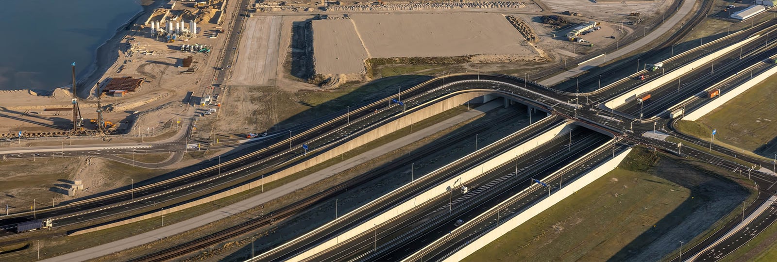
A-Lanes A15 needs to demonstrate that contractual requirements are met and prepare an annual asphalt-repair plan. Visual inspection is therefore a crucial part of the maintenance process.
HD road imagery and structured assessment in Inspech created a repeatable inspection record with results available for professional review and maintenance planning.
Road authority and engineering partner
The joint Unihorn–Inspech proposition records that approximately 80% of the Dutch national highway network had already been inspected with Inspech.
The georeferenced evidence base combines Inspech’s scalable visual assessment environment with Unihorn’s professional inspection and engineering workflow—creating a practical foundation for recurring network intelligence.
Read the Dutch authority story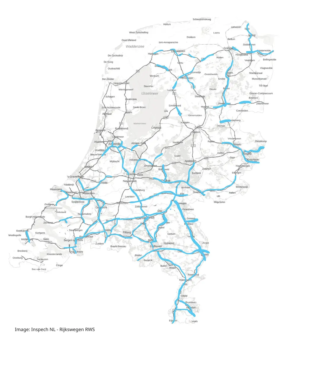

International authority delivery · Malaysia
Malaysian public-road clients receive structured, inspector-validated visual condition evidence through DTAP’s local Inspech-enabled delivery workflow.
Read the Malaysian authority story
Additional international authority story
AECOM used vehicle-mounted imagery and Inspech to assess a 30 km corridor, reducing field exposure and reporting at least four weeks and AUD 20,000 in savings in that project context.
Read the TfNSW / AECOM story
Inspection & engineering provider
Unihorn uses Inspech early in its professional workflow: after imagery collection and before radar, FWD, point-cloud, drilling and laboratory work.
Inspectors review and validate the visual assessment while the wider investigation and client advice remain under Unihorn’s professional direction.
“With Inspech, we finally have the overview we always wanted, without losing human expertise.”Jeroen Bleeker · Director, UnihornRead the Unihorn story
The customer-supplied result covers aggregate DTAP delivery across client work. Its Malaysian end-client context includes Public Works Departments and municipalities.
Municipal experience
For municipal teams, the value is often practical: making a larger or distributed network easier to inspect, review and plan with the available capacity.
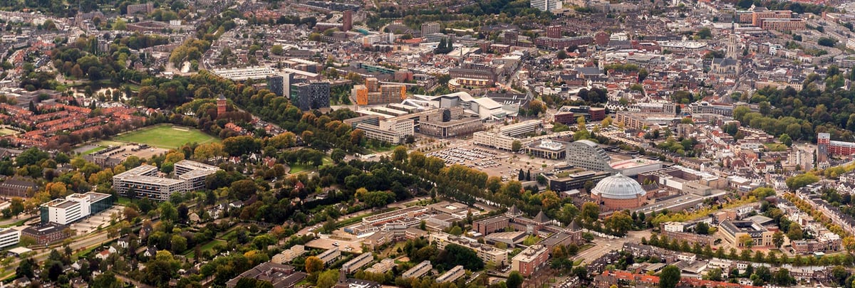 Municipality of Breda
Rural road network
Breda used digitally assisted visual assessment to create a detailed, georeferenced overview of rural roads, supporting professional inspection capacity and maintenance planning.
Read the Breda story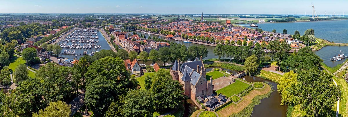 Municipality of Medemblik
Expanded road network
Medemblik needed an efficient way to understand an expanded road network. A georeferenced digital inspection environment helped the team process information faster and maintain a usable overview.
Read the Medemblik storyWhat the evidence demonstrates
Structured imagery, AI assistance and professional validation create value in different ways depending on the customer workflow.
A-Lanes A15
Rijkswaterstaat · Unihorn
DTAP · Malaysia
Breda · Medemblik
Build your own evidence
An Operational Validation uses a representative route, compatible imagery, the applicable inspection method and your own professionals to test fit in your context.